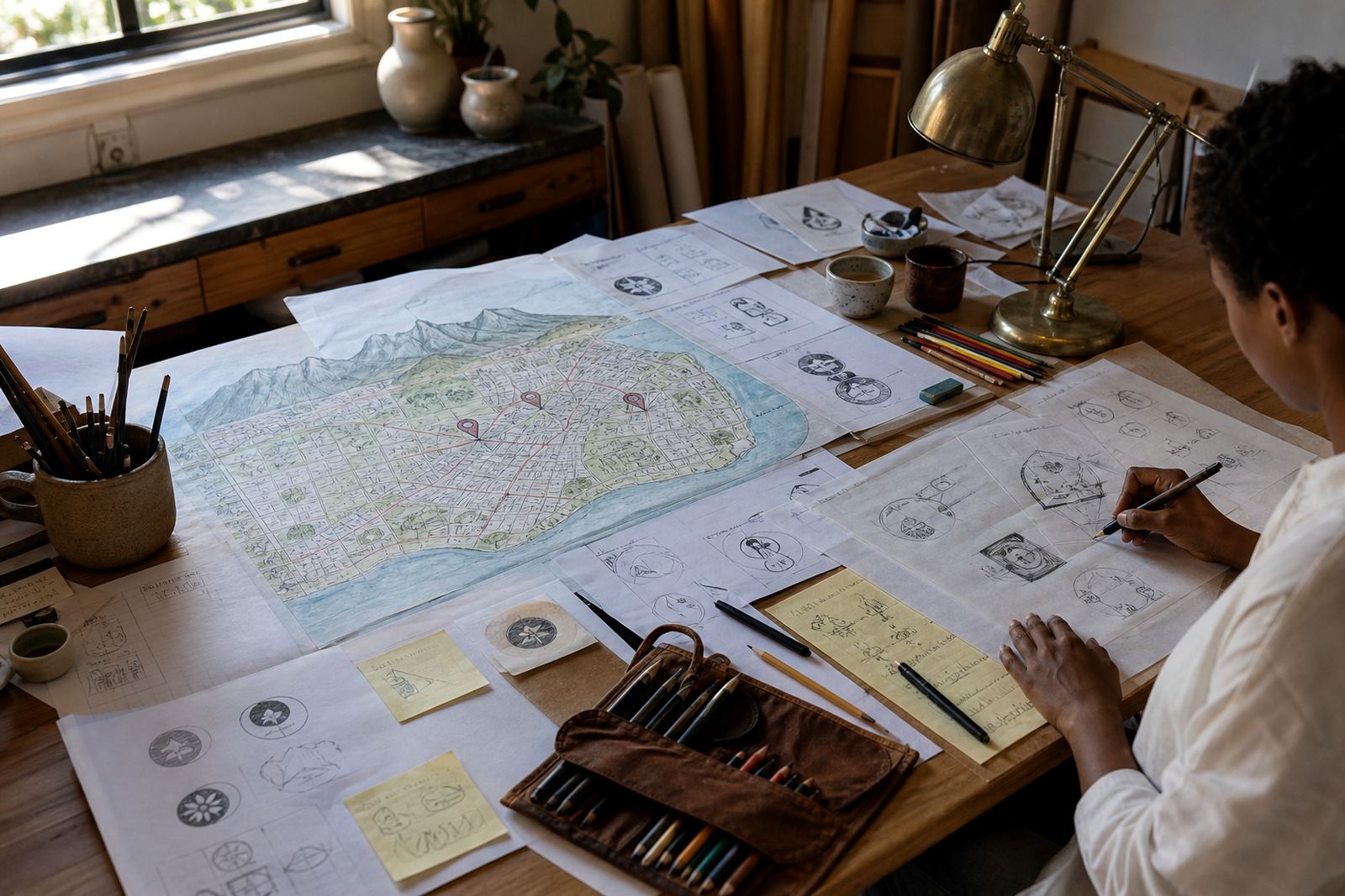
Clear maps that help people find the way
A good map does not need every detail. It needs the right detail in the right place. For visitor guides, menus, event programmes and venue packs, we create simplified map illustrations that show where people are, where they need to go and what landmarks matter most. Our work suits indoor venue maps, precinct maps, campus guides, estate plans, tourist route maps and event access maps for businesses in Cape Town, Johannesburg, Durban, Pretoria and Bloemfontein.
We work from source material you already have, such as a rough sketch, old artwork, a screenshot, a site plan or a marked-up PDF. If the original artwork is low quality, we can redraw it from scratch as a clean vector map. That gives you a file that scales neatly from a small flyer to a large sign board without jagged edges or muddy lines.
- Simplified streets, paths, buildings and landmarks
- Visitor-friendly labels and directional points
- Custom styling for tourism, corporate or municipal use
- Artwork supplied in SVG, EPS, PDF and AI
What we include in a map illustration
Each map is built to suit its purpose. A tourism map may need landmarks, attraction names and clear route lines, while a venue map may need entrances, parking, toilets, stages and reception points. We keep the layout readable and avoid clutter, especially where a map has to work on a small page in bright sun or on a quick-reference brochure.
Our standard map illustration work can include colour coding, route markers, icons, legend blocks, compass direction, title placement and simple area callouts. If needed, we can also prepare different versions for print and screen use, for example a full colour version for a brochure and a cleaner high-contrast version for a PDF visitor guide.
- Custom line work and simplified geography
- Landmark icons and callouts
- Street names, route markers and legends
- High-resolution print output and digital-ready exports
How bitmap tracing differs from hand redraws
Some maps start as a bitmap image, which means the source is made of pixels. If the source is already clean and correctly drawn, bitmap tracing can be a practical option. We trace the artwork into vector paths so it can be scaled and adjusted cleanly. This is useful when the structure is sound but the file quality is too low for professional use.
When the source is unclear, outdated or too busy, a hand redraw is usually the better route. That means we rebuild the map by hand as vector artwork, keeping only the useful information and improving line weight, spacing and legibility. It takes more care, but it gives you a map that is easier to read and better suited to print, signage and repeated use. For custom illustration, a hand redraw often works best because every area can be adjusted properly, not just copied over.
- Bitmap tracing for clean, existing source artwork
- Hand redraw for poor scans, old files or busy layouts
- Vector paths that scale without loss of quality
- Better control over labels, spacing and symbol style
Our process from brief to finished file
We keep the process straightforward. First we review the artwork you send and check what rights or permission you have to use it. Customers must own the artwork or have the right to send it for redraw or illustration. From there we confirm the map purpose, the size it must appear at and the information that must stay on the page. That includes any roads, landmarks, entrances, zones or reference points that must not be missed.
Next, we prepare a draft map for review. This stage is where we test line weight, icon style, label placement and the level of simplification. Once the direction is approved, we complete the final vector artwork and supply the agreed file formats. If the map is for a tourism piece or venue guide, we can also help with a matching style across related graphics so the page set feels consistent.
- Review the source files and usage rights
- Confirm content, scale and map purpose
- Prepare a draft for layout and accuracy checks
- Finalise and supply print-ready and digital files
Turnaround, updates and artwork refreshes
Turnaround depends on map size, the amount of redraw work and how many labels or landmarks need to be checked. A small venue map with limited detail is faster to complete than a detailed tourism route map with multiple areas and legend changes. If you need the file for an exhibition, printed guide or seasonal brochure, tell us early so we can plan the work around your deadline.
For artwork that changes over time, such as retail centres, hospitality sites or visitor guides with seasonal information, we recommend regular reviews. A quarterly check suits most printed maps, while monthly updates may suit fast-moving venue details. At each review, we can amend access points, renamed areas, parking notes, new facilities and changed branding so the map remains useful rather than out of date.
- Best for one-off maps and recurring updates
- Suitable for quarterly or monthly maintenance
- Useful for seasonal tourism and venue changes
- Can be updated in the same vector file set
Pricing approach for map work
Our pricing is based on the amount of redraw or illustration work required, the level of detail and the number of revisions needed. A simple locator map with a few points is priced differently from a detailed illustrated precinct map with multiple routes and icons. We do not quote from guesswork. We first look at the source material, the intended use and the files you need at the end, then we give a clear scope for the job.
Where possible, we group related map versions together so the work stays efficient. For example, a main visitor map and a smaller directional version can often be developed from the same base artwork. That helps keep the visual style aligned and reduces the risk of mismatched labels or symbol changes later on. No hidden extras, just clear scope and practical file delivery.
- Cost based on detail, size and revision count
- Separate pricing for redraw, illustration and file variation
- Suitable for single maps or multi-version projects
- Quoted from the supplied artwork and brief
File specs for print and digital use
We supply vector map files in formats that are widely used by printers, designers and in-house teams. SVG and PDF are useful for web and document use, while EPS and AI are suited to professional editing and print workflows. If you need a raster export as well, we can prepare that too, but the master artwork stays in vector format so it can be scaled properly later.
For print work, we build maps with clean line weights, readable type and enough contrast for brochures, folded guides and signage. For digital use, we can simplify the layout further so it remains clear on tablets and phones. This matters in South Africa where people may be reading in bright light, on the move or with limited data, so the map has to stay easy to understand at a glance.
- Vector formats: SVG, EPS, PDF and AI
- Suitable for brochures, signage, guides and screens
- Print-ready structure with editable layers where needed
- Clean scaling for small and large formats
Key facts
| Service | Map Illustration |
|---|---|
| Base | Observatory, Cape Town |
| Service area | Cape Town, Johannesburg, Durban, Pretoria, Bloemfontein, Port Elizabeth, Stellenbosch and Paarl |
| File formats | SVG, EPS, PDF, AI |
| Typical use | Venue maps, tourism materials, visitor guides, precinct maps and route maps |
| Founded | 1994 |